


Pointe du Toulinguet
Why take advantage?
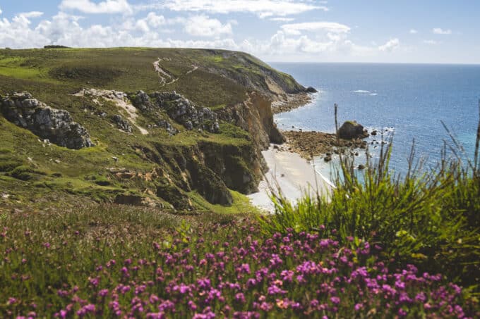
Pointe de Toulinguet is one of Camaret-sur-Mer's two major points, after Pen Hir to the south.
It's a 30-minute walk from the two points along the GR 34.
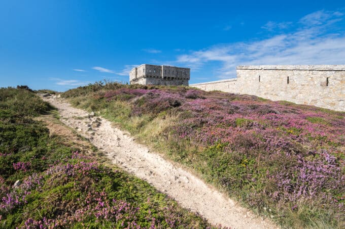
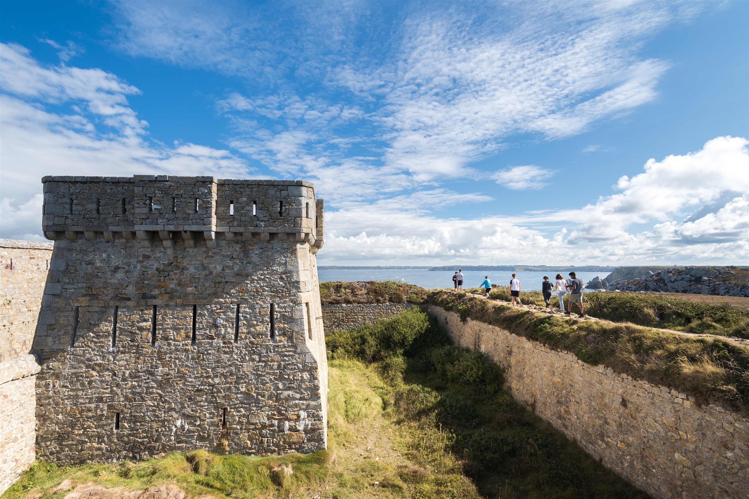
Although the latter passes over the point, it is impossible to reach the end of the cliff. A 19th-century perimeter wall still closes off access. Behind this wall is a military site, including the semaphore that keeps watch over the Iroise Sea between the Pointe du Raz and the Ouessant rail.
At the tip of the point, you can see one of the peninsula's two lighthouses, which still guide sailors to the coast.
If you follow the GR 34 along the impressive perimeter wall, you'll come across a model n°3 tower, type 1811. This tower, like many others along the coast, was used to defend against enemy attacks from the ocean.
The aim was to protect the entrance to the Brest roadstead and the military port it housed.
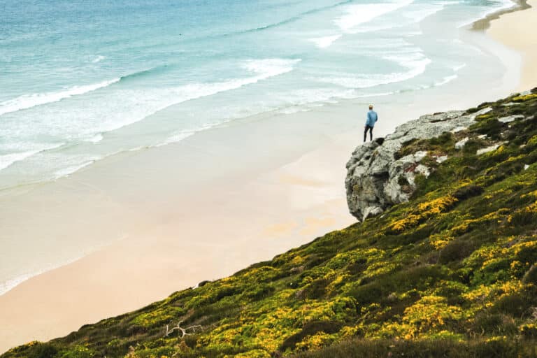
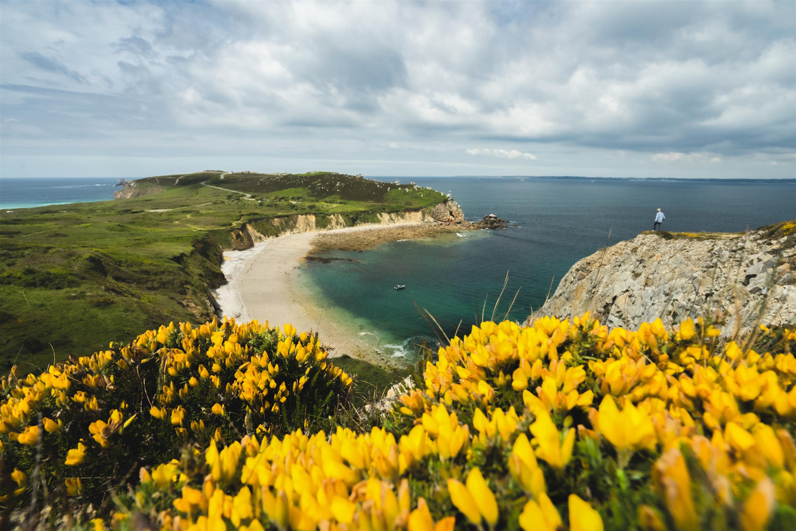
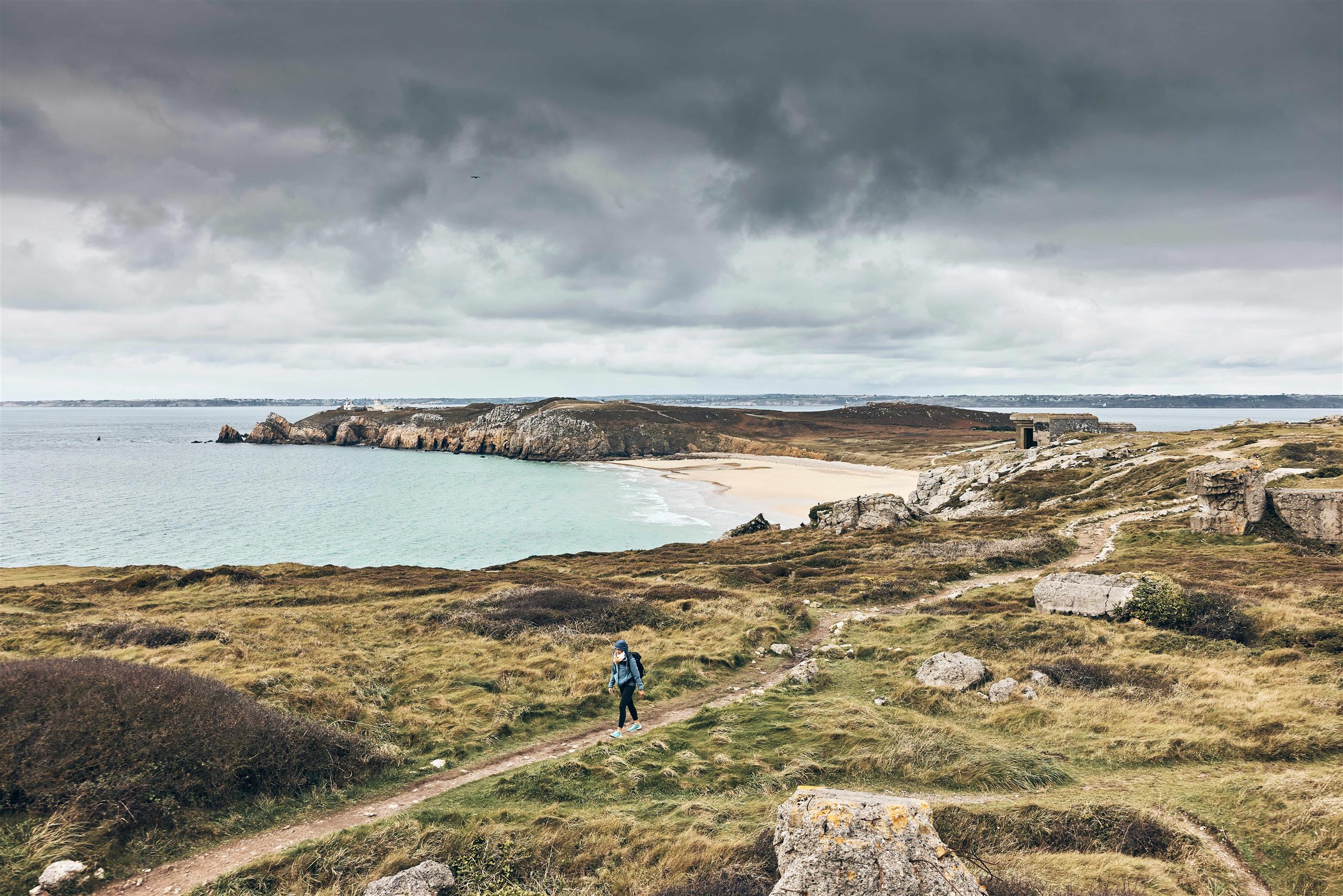
On the headland, the Pen Hat cove offers surfers the perfect sport for taming the waves.
Please note, however, that the beach is closed to bathing due to the presence of baïnes. However, it is possible to take advantage of the beach and the dunes above to admire one of the most beautiful panoramas of the peninsula.
Spoken language(s)
- French
Pointe du Toulinguet
C329570 Camaret-sur-Mer